 Simple Flight Suite
 Simple Flight Planner
Plan smarter, fly better. Real navigation data, dispatch-grade numbers, and a map you can actually plan on — free, in your browser.
Free, in full Runs in your browser. Free. No ads, no login wall, no premium tier.
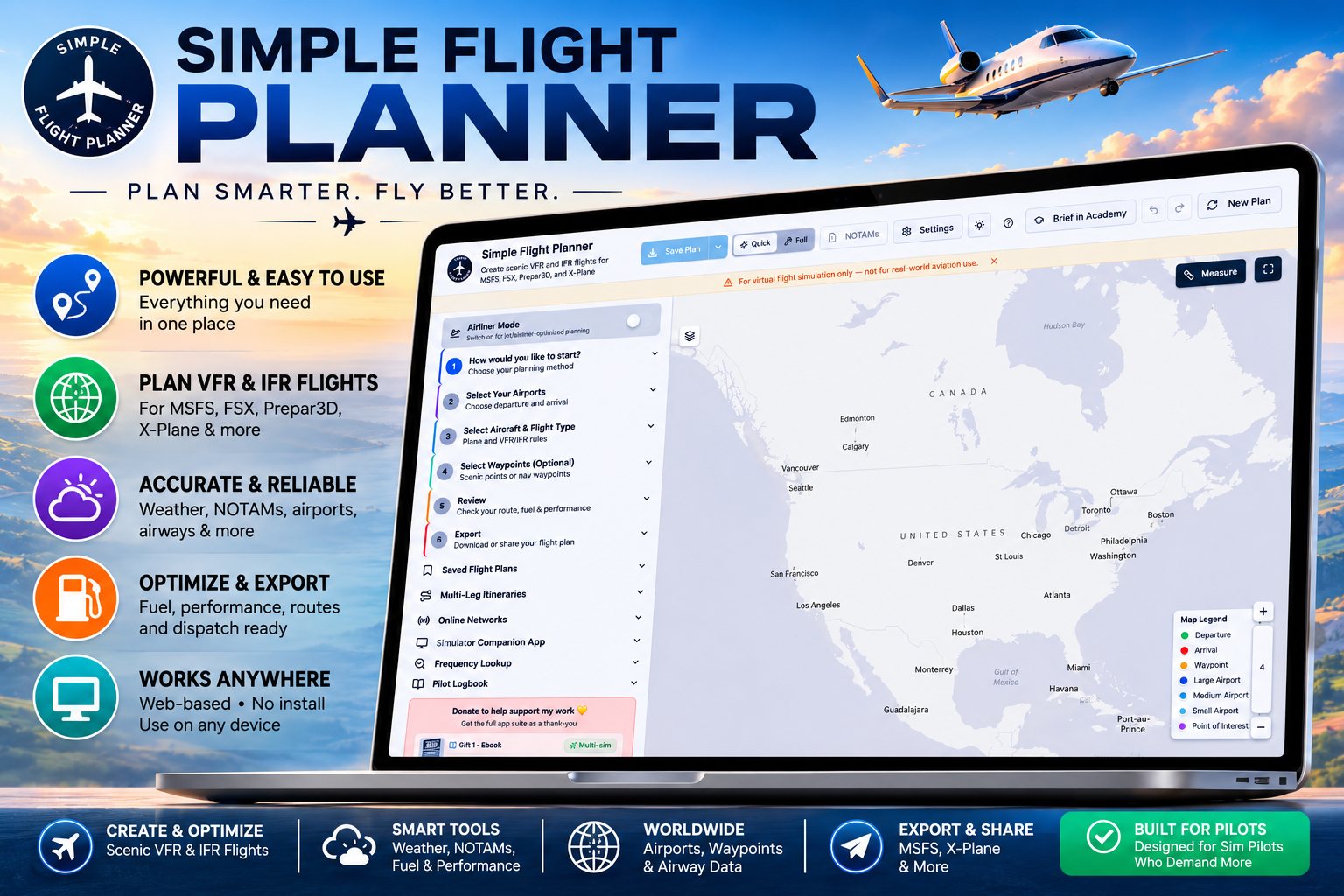
Simple Flight Planner started as a quick way to build a scenic VFR route. It is now a planning tool that will take you from a long-press on the map to an ETOPS-checked airline flight plan, and it still gets a Cub down a valley in about two minutes.
It plans VFR and IFR for MSFS 2020 and 2024, X-Plane 11 and 12, FSX and Prepar3D, on real navigation data: worldwide airports with runway geometry, navaids, AIRAC fixes, airways, and published departure and arrival procedures — with terrain-safe procedures generated for any airport that has none.
New pilots start in Quick mode, which is the six steps and nothing else. Full mode adds dispatch, terrain, procedures, weight and balance and airspace tools when you want them.
It runs in a browser and installs as an app if you want it to, works offline, and has never asked anyone for an account. No ads, no login wall, no premium tier.
From Empty Map to Exported Plan
- Choose how to startFrom scratch, from a saved plan, from a scenic template, or by importing from SimBrief.
- Pick your airportsSearch worldwide, or pull from your favourites and recent picks.
- Pick the aircraft and the rulesThe aircraft you are actually flying, VFR or IFR, with an altitude range to match.
- Build the routeDrop waypoints on the map, snap them to navaids, follow published airways, or let a scenic template do it.
- ReviewFuel, performance, weather, terrain, airspace and timing, all before you commit.
- ExportStraight to the sim, or as a link, or on paper.
Two Ways to Plan
- Quick or FullA stripped-back workflow with just the essentials, or the whole suite with dispatch, terrain, procedures, weight and balance and airspace tools. New pilots start in Quick.
- Airliner ModeOne toggle switches the whole interface to jet planning: IFR defaults, airway routing and airline fuel policies.
- Scenic templatesOver a hundred pre-built routes across six continents, for when you just want somewhere good to fly.
- Plan by timeSay how long you want to be in the air and it builds a route that lasts that long.
- SimBrief importBring a route straight across with your Pilot ID.
- Favourites and recent picksStar the airports you always use; re-select recent airports, aircraft and routes in a click.
Building and Editing the Route
- Airway routingSearch and route along published V-routes and J-routes.
- Route optimizerReorders waypoints to cut distance, or snaps the route to airways for IFR, and shows you before and after on the map.
- Edit on the mapDrag a waypoint and the route recalculates as you go. Drag the route line itself to insert a new one, with navaid snapping.
- Insert anywherePlus markers at every leg midpoint, inline dividers in the waypoint list, and one-click duplication.
- Snap to navaidAttach a waypoint to the nearest VOR, NDB or fix instead of eyeballing it.
- Waypoint notesAdd remarks to any waypoint, and edit the name, coordinates and altitude of your own.
- Swap and reverseSwap departure and arrival with their runways, or reverse the whole thing for the flight home.
- Split a planBreak a flight at any airport waypoint and export it as two back-to-back plans.
- Route comparisonPut two saved plans side by side and pick one.
Procedures
- Real FAA SIDs and STARsLoaded on demand from the FAA CIFP for US airports, then cached for next time.
- Curated international proceduresAround seventy hand-built procedures at twenty major fields, with real fix sequences, altitude constraints and speed limits.
- Auto-procedure builderTerrain-safe, multi-leg departures and arrivals for any airport in the world, adapted to what you are flying — airliner, GA or bush.
- Procedures on the mapFixes are placed and inserted into the route automatically, the arrival is chosen from your runway, and one tab strips it all back out again.
- Why this route?A panel under every generated procedure explaining the runway choice, the turns, the terrain, the fixes and the vertical profile.
Weather, NOTAMs and Warnings
- METAR and TAFCurrent conditions plus terminal forecasts for departure and arrival, with each forecast period labelled so you can see how the window changes.
- Decoded, in plain EnglishOne toggle turns the raw strings into readable summaries, with the original still on hover. Worth having if you are still learning to read them.
- Live NOTAMsEvery airport on the route, colour-coded by severity and sorted by type, with departure, arrival and enroute tabs.
- Winds aloftPer-leg upper wind components estimated from surface observations.
- Smart suggestionsReads the plan as you build it: headwinds worth avoiding, terrain clearance, a curated route that matches, IFR level compliance, fuel reserves on long legs.
- Airspace warningsThe route is checked against Class B, TMAs and restricted or prohibited areas.
- Terrain awarenessAn elevation profile along the whole route.
- DaylightSunrise, sunset, twilight and darkness at each waypoint.
- Diversion plannerNearest suitable airports from any point on the route, filtered by runway length.
Numbers a Dispatcher Would Recognise
- Dispatch reportA go/no-go flight release with automated safety checks, opened as its own document.
- Fuel and performanceDensity altitude, true airspeed, takeoff and landing rolls, for the aircraft you chose.
- Airline fuel policiesContingency, reserve, taxi and tankering fuel, configured the way an operator would.
- Cost indexZero to 999, trading cruise speed against fuel burn.
- ETOPS planningEqual-time points, diversion airports and critical segment analysis.
- Weight and balancePassengers, baggage and fuel against a plotted CG envelope.
- Checkpoint timingHeading, distance, leg time and cumulative time, checkpoint by checkpoint.
- Fuel in your unitsGallons, pounds or kilos, with Jet-A1 and Avgas densities applied.
The Map and the Airports
- Airport explorerClick any airport for a full breakdown: runways with surface and lighting, taxiways, gates and stands, ATC frequencies, ILS approaches and nearby navaids, alternates within 150 miles, and what services are on the field.
- OverlaysWeather radar, winds, terrain hillshade, FAA VFR sectionals, IFR low and high enroute charts, SIGMETs and AIRMETs.
- Live trafficVATSIM and IVAO pilots and controllers, on the map, in real time.
- FiltersShow or hide VORs, NDBs, DMEs, TACANs and scenic points, and filter airports by size.
- Real runway outlinesHigh-resolution runway geometry once you zoom in.
- Measure toolClick two points for distance and heading.
- Flight playbackAnimate the route at the speed you choose before you fly it.
- Built for touchLong-press to drop a waypoint. It works properly on a tablet.
Getting It Out Again
- Export to any sim.PLN for MSFS, Prepar3D and FSX, .FMS for X-Plane.
- Proper MSFS 2024 plansICAO region tags and version metadata, so the plan loads correctly in the G1000 and the EFB.
- Send it to the simWith Simple Flight Tracker running, the plan goes across by itself.
- Share a linkOne URL that shows anyone your route, your stats and your map.
- Print itWith the map or without it.
- Multi-leg itinerariesGroup flights into a journey with cumulative distance and time.
- Pilot logbookLog what you flew, with stats, notes and running totals.
- Works offlineInstallable as an app, with procedures, frequencies, airways, map tiles and weather cached for when you have no connection.
- A real user guideA downloadable PDF covering all of it.
On This Page
- Two Ways to Plan 6
- Building and Editing the Route 9
- Procedures 5
- Weather, NOTAMs and Warnings 9
- Numbers a Dispatcher Would Recognise 8
- The Map and the Airports 8
- Getting It Out Again 9
Works With
- Simple Flight Tracker
Sends the plan to the sim, puts your live position on the planner map, and carries the route on to the debrief.
- Simple Dispatch
Import a Simple Flight Planner route directly in the Route tab.
- Simple Flight Academy
Anything in the plan you are unsure of, the Brief in Academy button explains.
- Simple Flight Review
The route you planned is what the debrief compares your flying against.
The planner and the tracker are free to everyone. The rest are what I send back to people who support my work — all of them, together.